|
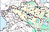
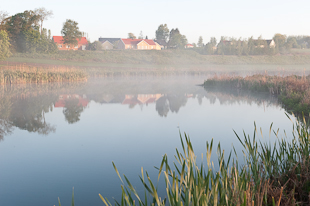
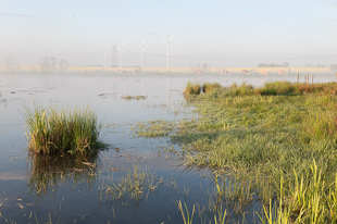
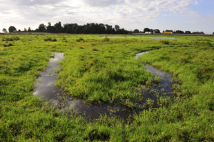
As a result of the Kävlingeå River Project, 150 new ponds and wetlands, 350 hectares in total, have been distributed throughout the landscape surrounding the river Kävlingeån during 1995-2009. These ponds and wetlands differ from 0,2 up to several hectares in size. The largest wetland of the project has been constructed in connection with the restoration of the northernmost stretch of the river Klingavälsån, a tributary to the river Kävlingeån. Here, an area of approx. 50 hectares of arable land has been converted into grazed wetland. The created ponds and wetlands are generally shallow, a few dm up to one m in depth, with the exception of irrigation ponds which may 2 m deep or more. Some of these ponds and wetlands vary considerably in depth and size with the time of year, drying out during dry periods and growing larger and deeper during periods of higher flow.
The starting point for the Kävlingeå River Project has been situating ponds and wetlands where the maximum environmental benefit can be achieved. When building wetlands for the purpose of removing nutrients, this means finding places which receive water from large and intensely cultivated catchment areas, in most cases a minimum of 100 hectares.
In cases where nature conservation and biodiversity are the main purpose for building a pond or wetland, it is of utmost importance to ensure its future management. This is mainly done by the use of grazing animals. When assessing the suitability of a chosen spot, it is ensured that the pond will harmonise with the landscape surrounding it. In some cases, the possibility of restoring an area of recreational or social historic importance has decided the placement and design of a pond or wetland.
During the course of the Kävlingeå River Project, several approaches to locating suitable places for ponds and wetlands have been tried. In most cases, a spot is suggested by an interested landowner. Usually, the landowner has previously been informed of the project through a letter, a meeting or from a newspaper. Incoming applications are evaluated with respect to environmental benefits and technical conditions, and are in most cases followed up by a field visit.
Great effort has also been made to locate prospective areas for ponds and wetlands by going through historic maps. The possibility for restoring such areas into wetland has been evaluated using modern maps and information on protected areas as well as other areas of natural and cultural interest. This work has showed that only a fraction of historic wetland areas can be recreated or restored in todays´ landscape of modern land use and infrastructure. |